
Scientists have conducted many researches to find out more about Mount St. Helens’ magma.
Scientists argued that the last eruption registered of Mount St. Helens was approximately 35 years ago. Since the major eruption that took place back then, a lot of researchers have conducted studies analyzing this volcano. This crater is part of the North-South chain of other active volcanoes located in the Pacific Northwest. This chain developed above the Juan de Fuca subducting plate.
- The last eruption proved to be very dangerous.
- Scientists analyzed the structure of the magma system.
Scientists have claimed that Mount St. Helens is a stratovolcano. It is composed of steep symmetrical cones which developed over the years from the deposits of various lava layers, volcano debris, and ash. Volcanoes like Mount St. Helens are very dangerous, displaying a very explosive eruption which can cause considerable damages to all beings nearby.
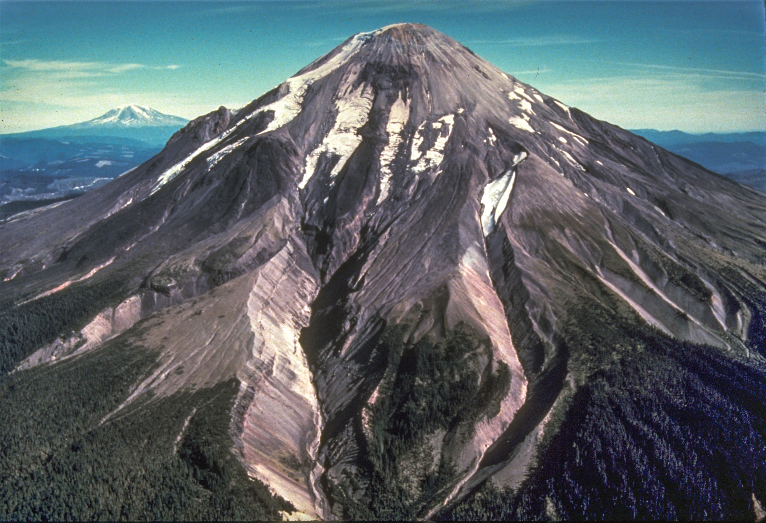
The outbreak that occurred back in 1980 was a devastating one. The crater is located 30 miles west of Mount Adams. Geophysical and petrologic research that was conducted there suggested that part of the eruptive debris were generated from the magma coming from the upper chambers.
These holes were located from three to twelve kilometers in depth. The eruptions are produced by magma which reveals at the surface. Magma represents a mixture of dissolved gasses, crystals, and liquid rock. Arc magma is the result of the interaction between melts which rise from the mantle region and encompassing crust.
Even if there is a genetic bond which connects the arc volcanism and subduction, the composition of the deep magmatic system which is situated in Mount St. Helens remains barely dispelled. Recently, a team of scientists including Professor Brandon Schmandt at the University of New Mexico and researcher Steven Hansen, have been looking for answers concerning the Mount St. Helens’ magmatic system.
This study represented a collaborative project which included several institutions. The research was recently published in the Nature Communications magazine bound to shed light on the structure of the magmatic system encapsulated in Mount St. Helens, being analyzed from the surface to bottom.
This partnership was called iMUSH (Imaging Magma Under St. Helens), and it was sustained by the EarthScope and GeoPrisms Programs of the US National Science Foundation. The study also had the contribution of scientists from the Department of Earth and Space Sciences from the University of Washington, the Department of Earth and Atmospheric Sciences at Cornell and the Department of Earth Science at Rice University.
Image source: wikipedia
Leave a Reply
You must be logged in to post a comment.