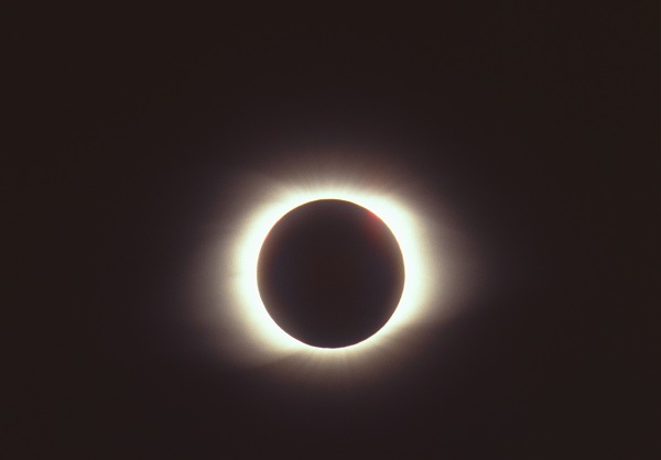
Scientists from NASA reveal the path of totality of the upcoming total solar eclipse.
NASA has unveiled more data about the total solar eclipse which is bound to take place in late August this year. Scientists from NASA have revealed the path of the shadow called the path of totality. This represents exactly the path where observers will see how the sun is completely covered by the moon. Due to data prevailed by the NASA’s Lunar Reconnaissance Orbiter together with the NASA’s topography data of Earth, scientists managed to develop the most detailed map of the path of totality.
- NASA scientists have developed eclipse maps which will guide them during the total solar eclipse in August.
- They have used LRO observations and Watts’ profiles of the lunar limb to develop them.
- Friedrich Wilhelm Bessel was one of the astronomers who managed to develop eclipse maps back in the 19th century.
Scientists have been using eclipse maps for a long time to predict the path of the shadow of the moon while it crosses Earth’s face. William Chauvenet and Friedrich Wilhelm Bessel were two famous mathematicians and astronomers of the 19th century. A long time before precise astronomical data collected during the Space Age and computers, they managed to develop the math used to build eclipse maps.
Generally, the calculations for eclipses presuppose that all observers are situated at sea level and that our moon is a sphere which is entirely symmetrical around its center of mass. Unfortunately, these calculations do not take into account several elevations on Terra or the uneven and full of craters surface of the moon.
Scientists use elevation tables and plots of the moon to make sure that they have more detailed maps slightly. Until recently, astronomers have looked at the profiles of the lunar limb published by scientist Chester Burleigh Watts back in 1963. These patterns helped them develop eclipse maps of the path of totality followed by the moon. The lunar limb represents the visible edge of the moon as we see it from our planet.
Watts built a device capable of tracking seven hundred photographs which covered all angles of the moon which were visible from Earth to develop the limb’s profiles. Nevertheless, when topography information from LRO was added to these patterns, the complete package of data was even more accurate.
Ernie Wright, a visualize from NASA at Goddard Space Flight Center in Greenbelt, Maryland, had used LRO maps to built a varying profile of the lunar limb which was continuously changing as the shadows of our moon passed over America just like it will happen during the next total solar eclipse.
Image courtesy of: wikipedia

Leave a Reply
You must be logged in to post a comment.